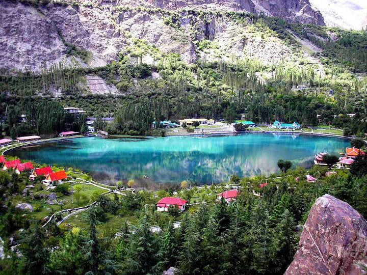
Karakoram Highway
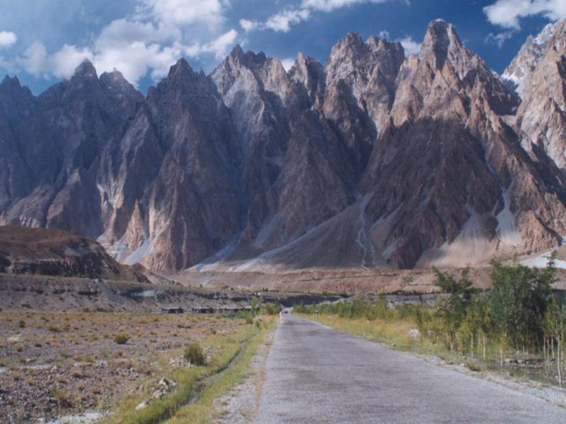
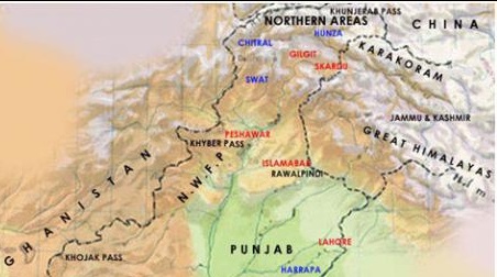
A new all-weather road, the Karakoram Highway connecting Rawalpindi / Islamabad with China's Xinjiang Province runs through the Northern Areas.
The 805 km. dual carriage metalled road starts from Havelian 100 km. From Islamabad and winds through Abbottabad-Mansehra-Thakot-Besham-Pattan-Sazin-Ghils-Gilgit-Hunza to the Chinese Frontier across the 4,733 metres high Khunjerab Pass. The road built by the Pakistan Army engineers in association with the Chinese experts and technicians has been described as a marvel of civil engineering and even as "The Eighth Wonder of the World". Completed in 15 years, it has been forced through some of the world's toughest terrain. The road not only opens up the Northern Areas to trade and travel but also provides easy access to hitherto closed regions, connected by jeep or goat tracks.
Pakistani Section:
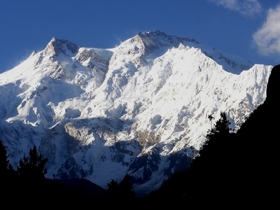
At 805 kilometres (501 mi) in length, the Pakistani section of the highway starts in Abbottabad, although the N-35 of which KKH is now part, officially starts from Hassanabdal. The highway meets the Indus River at Thakot and continues along the river until Jaglot, where the Gilgit River joins the Indus River. This is where three great mountain ranges meet: the Hindukush, the Himalaya, and the Karakoram. The western end of the Himalayas, marked by the ninth highest peak in the world, Nanga Parbat, can be seen from the highway. The highway passes through the capital of Gilgit–Baltistan, Gilgit, and continues through the valleys of Nagar and Hunza, along the Hunza River. Some of the highest mountains and famous glaciers in the Karakoram can be seen in this section. The highway meets the Pakistani-Chinese border at Khunjerab Pass.
Chinese Section:
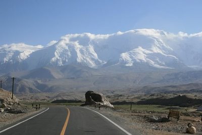
The Chinese section of the Karakoram Highway follows the north-south Sarykol ('Yellow Lake') valley just west of the Tarim Basin. The road from Kashgar goes southwest about 80 kilometres (50 mi) and then turns west to enter the Gez (Ghez) River canyon between Chakragil mountain on the north and Kongur mountain on the south. From the Gez canyon the population becomes Kirgiz. Having climbed up to the valley, the road turns south past Kongur, Karakul Lake, and Muztagh Ata on the east. Below Muztagh Ata, a new road goes west over the Kulma Pass to join the Pamir Highway in Gorno-Badakhshan, Tajikistan. The main road continues over a low pass (where the population becomes Tajik) and descends to Tashkurgan. Further south, a valley and jeep track leads west toward the Wakhjir Pass to the Wakhan Corridor. Next the road turns west to a check post and small settlement at Pirali, and then the Khunjerab Pass, beyond which is Pakistan, the Khunjerab River and Hunza.



 10 o C
