Karakoram Mountains

The Karakoram mountains of Pakistan mark the western end of the greater Himalayan mountain chain and contain the greatest concentration of high peaks on earth as well as the largest expanse of glacial ice outside the polar regions. The winter snows from these mountains provide the meltwater for the mighty River Indus that cuts through the Karakoram from its source in Tibet.
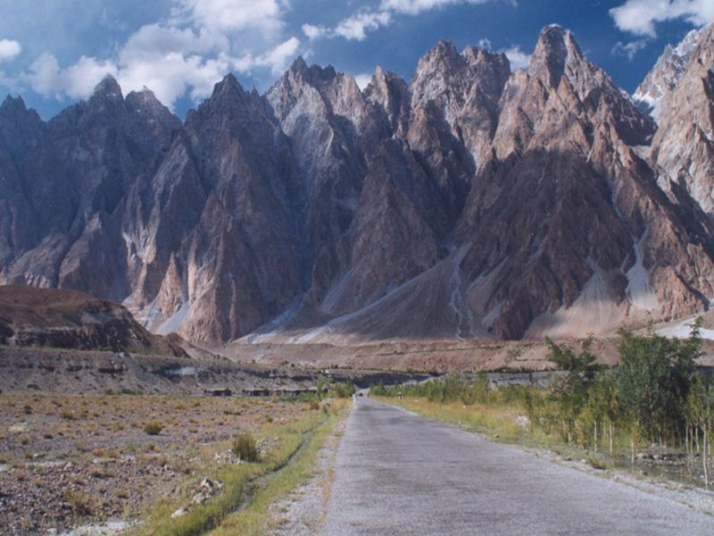
The Karakoram is a mountain desert; a vast region of barren rock and ice, where jeep roads cut through valley systems to remote villages still many days walk from the high mountains.
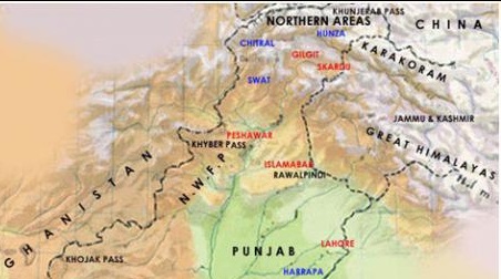
Karakoram means black stone, it is believed to be the north western extension of greater Himalayan mountain system, covering the borders between Pakistan, India and China, in the regions of Gilgit-Baltistan (Pakistan), Ladakh (India), and Xinjiang region, (China).
The range is about 500 km (311 mile) in length, and is bounded on the northeast by the edge of the Tibetan Plateau, and on the Karakoram Rangenorth by the Pamir Mountains. The southern boundary of the Karakoram is formed, west to east, by the Gilgit, Indus, and Shyok Rivers, which separate the range from the north-western end of the Himalaya range.
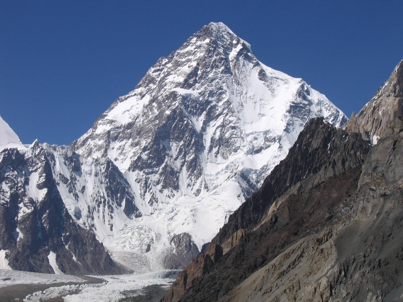
Karakoram is also home to the most dense collection of highest peaks to be found anywhere on earth, including the K2, the second highest peak of the world (8,611 m/28,251 ft). At one point, within a short radius of 15 Kilometres, stand 41 peaks over 6500 meters, including 04 peaks above 8000 M. The 360view offers a panorama of peaks nowhere to be found on this Earth.
It is also the most heavily glaciated part of the world outside the polar regions. The Siachen Glacier at 70 km and the Biafo Glacier at 63 km rank as the world's second and third longest glaciers outside the polar regions. Other glaciers include Baltoro, 62 kms, Batura, 58 kms, Hisper, 53 kms, Rimo, 45 kms, Chogo Lungma 47 kms, Panmah, 44 kms, Khurdopin, 41 kms and Saropo Laggo, 33kms in length.


 10 o C
